By USA Today Network via Reuters Connect
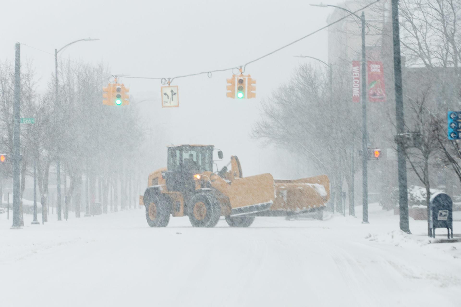
A potentially historic blizzard is underway across Michigan’s Upper Peninsula, where forecasters say snowfall totals could reach 1 to 3 feet across much of the region, with up to 4 feet possible in higher terrain.
The heaviest snowfall is expected in central and eastern parts of the UP, especially in the higher elevations of north-central Upper Michigan.
Roads are expected to become treacherous or impassable, with snowdrifts potentially several feet deep. Officials warn the weight of heavy snow could also lead to roof collapses on structures that have not been cleared.
“Potentially historic, record-breaking snowfall between 1 and 3 feet expected across all of Upper Michigan,” the National Weather Service wrote. “Highest storm total snow expected in the central and east. Greatest potential for 4 feet is the high terrain of north-central. Strong winds and heavy snowfall rates will result in a long duration of blizzard conditions. Widespread impacts: dangerous to impossible travel, power outages, prolonged recovery time.”
There are also reports of thundersnow, a rare phenomenon in which thunder and lightning occur during heavy snowfall, often signaling especially intense snow bands and snowfall rates.