Like many dogs, my boy Luke loves the snow, and he’d happily spend hours rolling in it and chasing snowballs. This can be particularly frustrating for me during these cold winter nights when I have to wait what feels like an eternity at bedtime until I can coax him in from the backyard.
So I knew this weather was serious when last night, Luke went into the backyard to do his business and sprinted back into the house in record time. His confusion was evident. And unfortunately, that wind chill is about to get a lot worse.
Today, we’ll take a look at what to expect this week when it comes to snow and cold across the state, and when conditions might improve.
Now if only I could tell Luke…
|
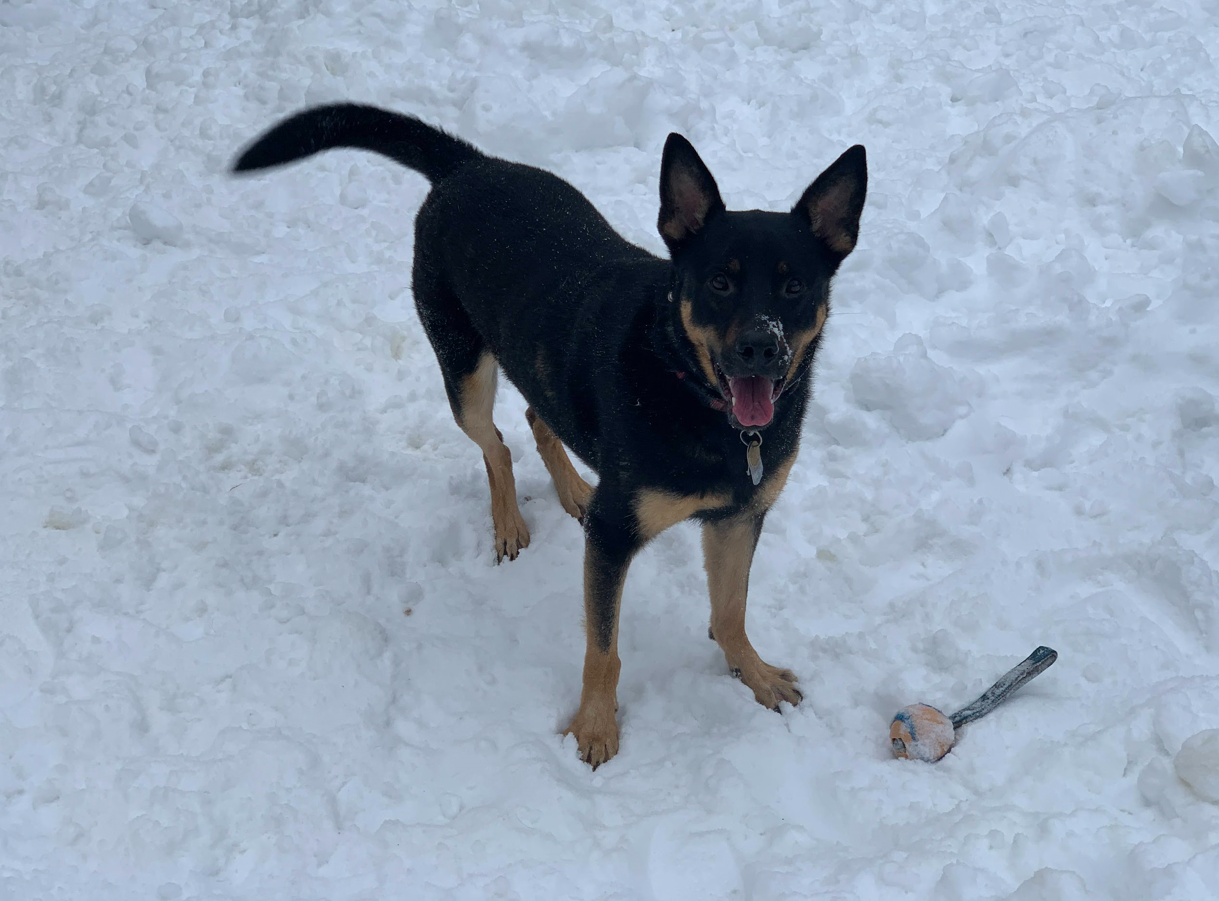
Dog tax. Here’s Luke during “warmer” weather. (Karel Vega/The ‘Gander)
|
|
|
Highway reopens after 100-car pileup (FOX 17): Authorities have reopened I-196 near Hudsonville after a massive multi-vehicle pileup involving more than 100 vehicles, including 30 to 40 semi trucks, shut down both directions of the highway for more than seven hours on Monday. Deputies say 9 to 12 people were injured, and no one was killed. An investigation into the pileup is ongoing.
Michigan grants millions to fight airport PFAS (WLNS): Michigan environmental officials are awarding $9 million in grants to 19 municipal airports to address PFAS contamination tied to firefighting foam. The funding will support testing, monitoring, cleanup planning, equipment decontamination, and replacement of firefighter gear. PFAS are long-lasting chemicals that persist in the environment and can build up in people and wildlife, posing potential health risks.
University of Michigan Health-Sparrow Advanced practice providers vote to unionize (MI Advance): Advanced practice providers at University of Michigan Health–Sparrow voted to unionize with the Michigan Nurses Association, with 86% backing the move. The new bargaining unit will include 213 nurse practitioners, physician assistants and certified nurse midwives across Sparrow locations in Lansing, Charlotte and Ionia. Union leaders cited pay, working conditions and patient safety as key motivations for the vote.
|
|
|
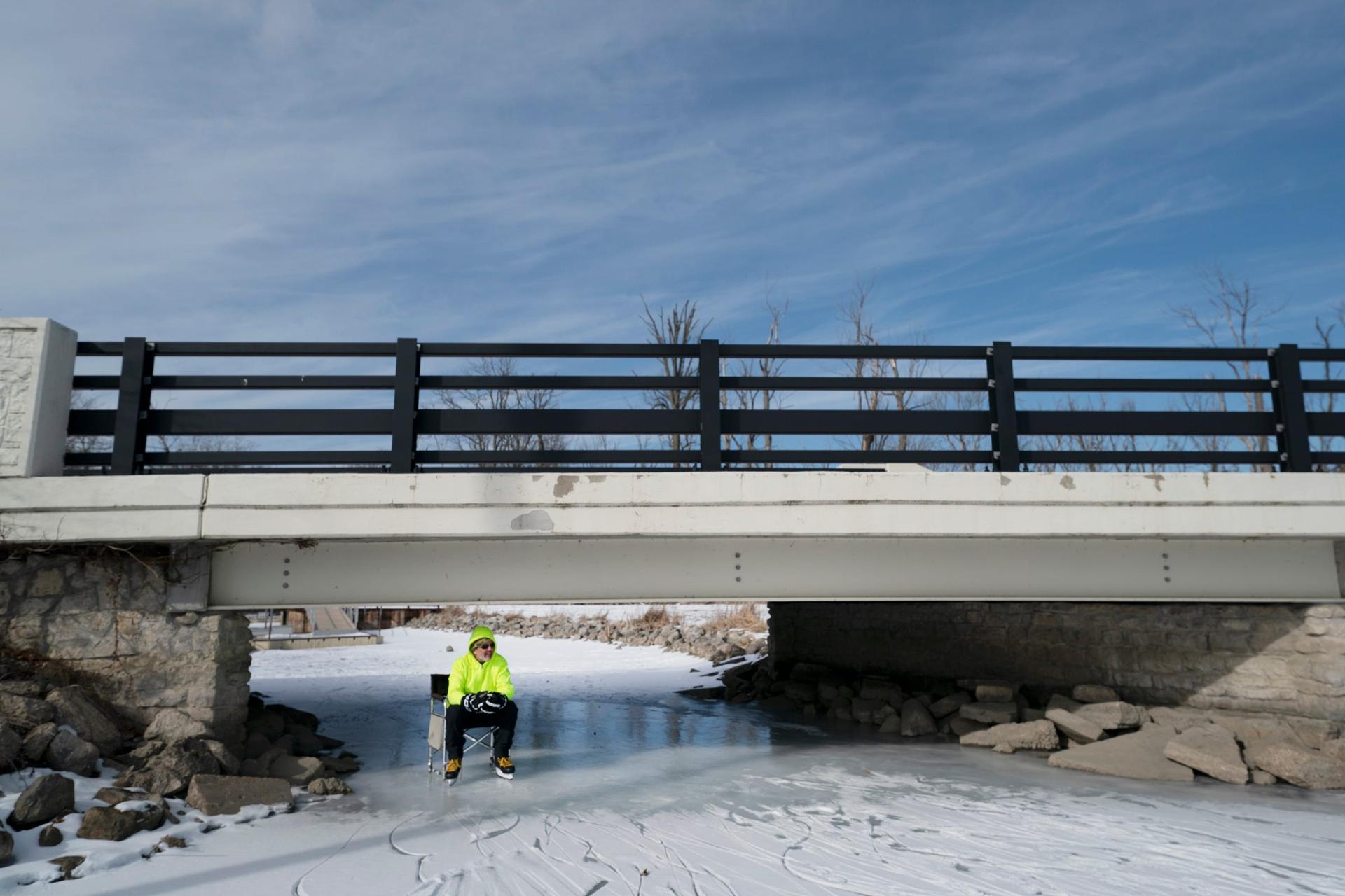
Bill Ackerman, 54, of Roseville, takes a break from the cold wind and from playing pond hockey with the Detroit Ice Boiz at Lake Okonoka on Belle Isle on Sunday, Jan. 26, 2025. (USA Today Network)
|
By USA Today Network via Reuters Connect
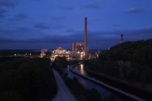
Lake-effect snow continues to hammer parts of Michigan as Arctic air remains locked over the Great Lakes, keeping snow bands active and wind chills dangerously low.
The heaviest snow is focused in the Upper Peninsula, where additional accumulations over the Keweenaw Peninsula are likely through midweek. Even areas that see lighter snow will remain in a prolonged stretch of bitter cold, with some of the coldest air of the season arriving late this week.
“Thursday (Jan. 22) will also be the last day before the next arctic outbreak,” the National Weather Service office in Detroit wrote. “Highs will reach into the 20s, but an Arctic front dropping through overnight will usher in the coldest airmass of the season.”
How much snow will Michigan get this week?
Lake-effect snow will persist through the week. According to the National Weather Service, these are the expected snowfall totals in Michigan through early Friday.
|
- Western Upper Peninsula (Lake Superior snow belt): 18-36 inches with isolated areas of 40+ inches
- Eastern Upper Peninsula: 8-16 inches
- Northwest Lower Michigan (Lake Michigan snow belt): 12-24 inches, locally higher
- Southwest Lower Michigan: 6-12 inches
- Northern Lower Michigan: 6-10 inches
- Central Lower Michigan (Lansing-Flint region): 3-6 inches
- Southeast Michigan (Detroit-Ann Arbor): 1-4 inches
|
Season’s coldest air settles in
The same Arctic air mass driving lake-effect snow is also delivering some of the coldest temperatures of the season. Early Tuesday morning, Jan. 20, temperatures dropped below zero across much of Upper Michigan, with some interior locations falling below minus 10 degrees. Daytime highs struggle to climb out of the single digits, even with some sunshine.
Another surge of even colder air is expected late Thursday, Jan. 24, into the weekend. Forecast models show temperatures at about 5,000 feet dropping to levels typical of midwinter Arctic outbreaks, setting the stage for overnight lows between minus 10 and minus 25 degrees across much of the Upper Peninsula, according to the National Weather Service.
Daytime highs Friday may not rise above zero in some interior areas.
|
|
|
Are you enjoying this newsletter?
|
|
|
Do you want to support The ’Gander’s mission while showcasing your products or services to an engaged audience of 190,000+ subscribers?
Email advertise@couriernewsroom.com for more information.
|
|
|
You are receiving this email because you opted in via our website.
Our mailing address is:
The ’Gander / COURIER Newsroom
611 Pennsylvania Ave. SE
Washington, DC 20003-4303
Want to change how you receive these emails?
You can update your preferences or from this list.
|
|
|
|